इवेंट रिपोर्ट
The Evolution of Digital Earth: From Al Gore’s Vision to the Next Generation
The concept of a Digital Earth—a comprehensive digital replica of our planet—was popularized by a 1998 speech by Al Gore. This vision catalyzed the creation of first-generation virtual globes, most notably Google Earth. These platforms revolutionized how the public and scientists interact with geographic information by making complex planetary data accessible through a "free, fast, and fun" interface. Unlike traditional Geographic Information Systems (GIS), which require specialized knowledge of map projections and scales, virtual globes utilize intuitive metaphors like "flying" to navigate the world.
Cameron Blake Ashford
रिपोर्टर
डेस्क नोट
नीचे आयोजन की पूरी रिपोर्ट और महत्वपूर्ण अपडेट पढ़ें।
डेस्क
ग्लोबल इवेंट
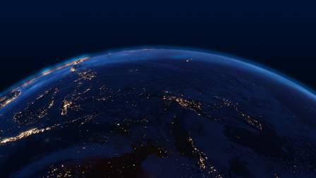
The Impact and Achievements of First-Generation Virtual Globes
The concept of a Digital Earth—a comprehensive digital replica of our planet—was popularized by a 1998 speech by Al Gore. This vision catalyzed the creation of first-generation virtual globes, most notably Google Earth. These platforms revolutionized how the public and scientists interact with geographic information by making complex planetary data accessible through a "free, fast, and fun" interface. Unlike traditional Geographic Information Systems (GIS), which require specialized knowledge of map projections and scales, virtual globes utilize intuitive metaphors like "flying" to navigate the world.
Technologically, these platforms overcame massive data hurdles. Covering the Earth at a high resolution requires petabytes of information; virtual globes solved this using hierarchical tiling and discrete global grids, allowing standard home computers to stream data smoothly. They also introduced "mashups," enabling users to overlay their own 2D and 3D datasets—such as climate patterns or urban structures—onto a global base map. This accessibility fostered a "prosumer" culture where citizens act as both consumers and producers of geographic data through crowd-sourcing and citizen science.
Limitations and Scientific Challenges
Despite their success, first-generation virtual globes face several limitations that affect their utility for rigorous scientific work. One primary concern is the lack of precision and documentation. For example, Google Earth often reports coordinates and distances with excessive numerical precision that far exceeds the actual accuracy of the underlying measurements. Furthermore, when base imagery is updated, previously registered features can shift, creating issues for longitudinal studies that require stable reference points.
Another gap lies in the representation of time and non-visual data. While Gore’s vision included the ability to explore the past and simulate the future, current platforms remain largely focused on the present. Moreover, virtual globes excel at displaying things that look like the Earth, such as topography and buildings, but struggle to represent abstract scientific variables like temperature fields, biodiversity, or socio-economic demographics. Uncertainty—a fundamental aspect of scientific data—is also difficult to convey visually, leading to a perception of the world as more "solid" and certain than the data suggests.
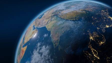
Defining the Requirements for a Next-Generation Digital Earth
The next generation of Digital Earth must evolve to address these shortcomings while embracing the era of "big data" and ubiquitous computing. A central requirement is the move toward open data access, ensuring that the vast quantities of information collected by governments and sensors are available for global problem-solving. This includes integrating the "Internet of Things," where the real-time locations of objects and environmental sensors are constantly fed into the digital model.
Advancing the visualization of complex relationships is also critical. Current maps are excellent at showing "unary" information—what exists at a single spot—but are less effective at showing "binary" information, such as migration flows or social networks between two locations. The next generation should also incorporate more powerful simulation models directly into the software environment, allowing users to modify parameters to see how urban growth or sea-level rise might affect their specific neighborhoods in the decades to come.
Future Directions: Augmented Reality and Multi-Sensory Interaction
As technology moves toward mobile and wearable devices, the next iteration of Digital Earth will likely extend beyond the computer screen. Augmented reality (AR) can overlay digital data—such as underground utility pipes or historical building facades—directly onto a user's real-world view via a tablet or smart glasses. Furthermore, the experience may move beyond the visual. Incorporating audio—allowing users to search via speech or listen to localized oral histories—could make the platform more accessible and immersive.
Finally, long-term digital archiving remains a significant hurdle. While paper maps can last centuries, digital media faces rapid obsolescence. Extensive research is required to ensure that the massive datasets being compiled today remain searchable and retrievable for future generations, fulfilling the ultimate promise of a persistent, evolving digital replica of our home planet.
संबंधित अपडेट

· hi
मुआय थाई बनाम ब्राज़ीलियन जिउ-जित्सु
आशा

· en
8 Remarkable Health Benefits of Crescentia cujete (Calabash Tree)
Sarah

· hi
पेडल कयाकिंग के लाभों की खोज
आदित्य

· en
The Beauty and Symbolism of Sunflowers
Cassian Moreau
· hi
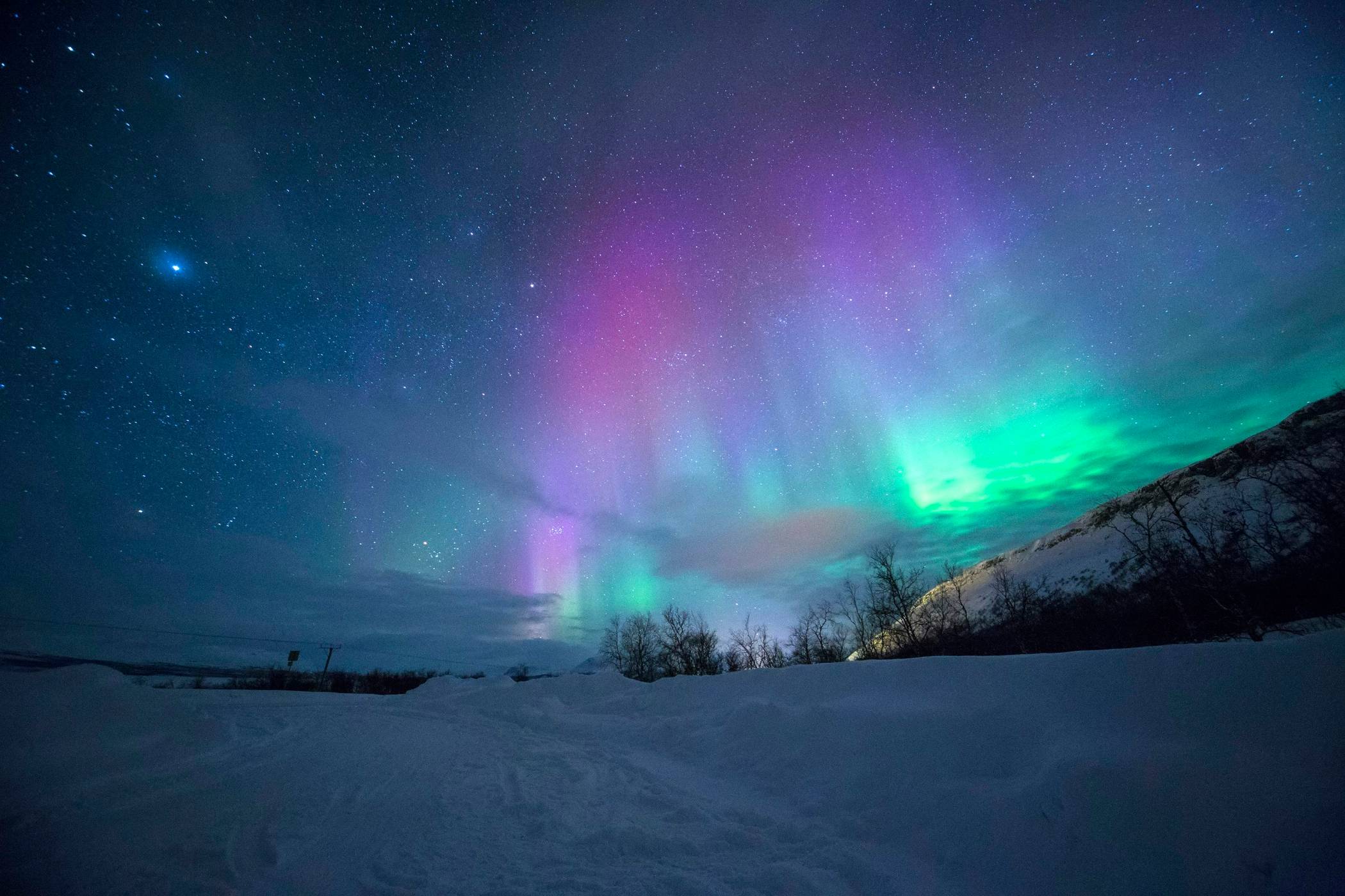
इस साल की उत्तरी रोशनी यहाँ देखें। वे दशकों में सबसे ज़्यादा चमकदार होंगी।
गणेश

· hi
8 खूबसूरत थैंक्सगिविंग डेकोर आइडिया जो आपके मेहमानों को ज़रूर चौंका देंगे
सुमित